
Map Modes
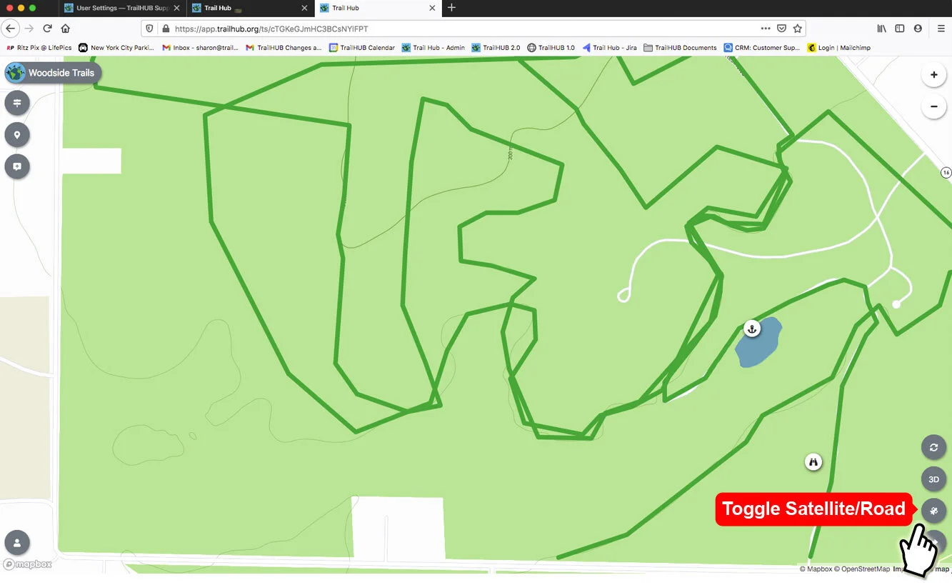
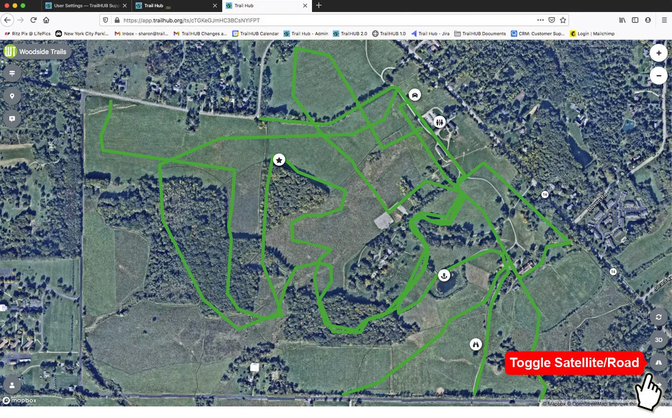
Switch the TrailHUB map between the road base map and satellite imagery.
The map can be viewed over a road-style base map or over satellite imagery. Satellite view is useful when you are drawing trails and want to follow visible corridors.
#Steps
- Select the Toggle Satellite/Road button in the lower-right corner of the map. The icon shows a satellite when you are in road view and a road when you are in satellite view.
- Select it again to switch back.
The toggle is not shown inside embedded maps; visitors to an embed can open the full trail system with the Launch Trail System button instead. Public visitors have their own view options, described in Map view modes.